GEOG 580 - Remote Sensing Principles & Applications I Final Project
Image by Photo by Lee Soo Hyun on Unsplash
GEOG 580 - Remote Sensing Principles & Applications - Final Project
| Author: Kate Thornhill, Graduate Student at Oregon State University | College of Earth, Ocean, and Atmospheric Sciences |
Contact Info: thornhik@oregonstate.edu
This project represents my 10-week long GEOG 580 - Remote Sensing Principles and Applications I learning experience. The assignment required students to select a project topic related to the use of remote sensing techniques to solve problems in their field of study. Students were required to write a scientific report and create an oral presentation that includes visuals and narration.
I chose to develop skills to conduct a temporal multispectral analyse while selecting research topic aligned with environmental justice principles. The proceeding project represents by term-based research, which investigates how urbanization and the proliferation of data centers built between 2014 and 2024 have impacted Loudoun County, VA by way of intense land coverage and thermal temperature changes.
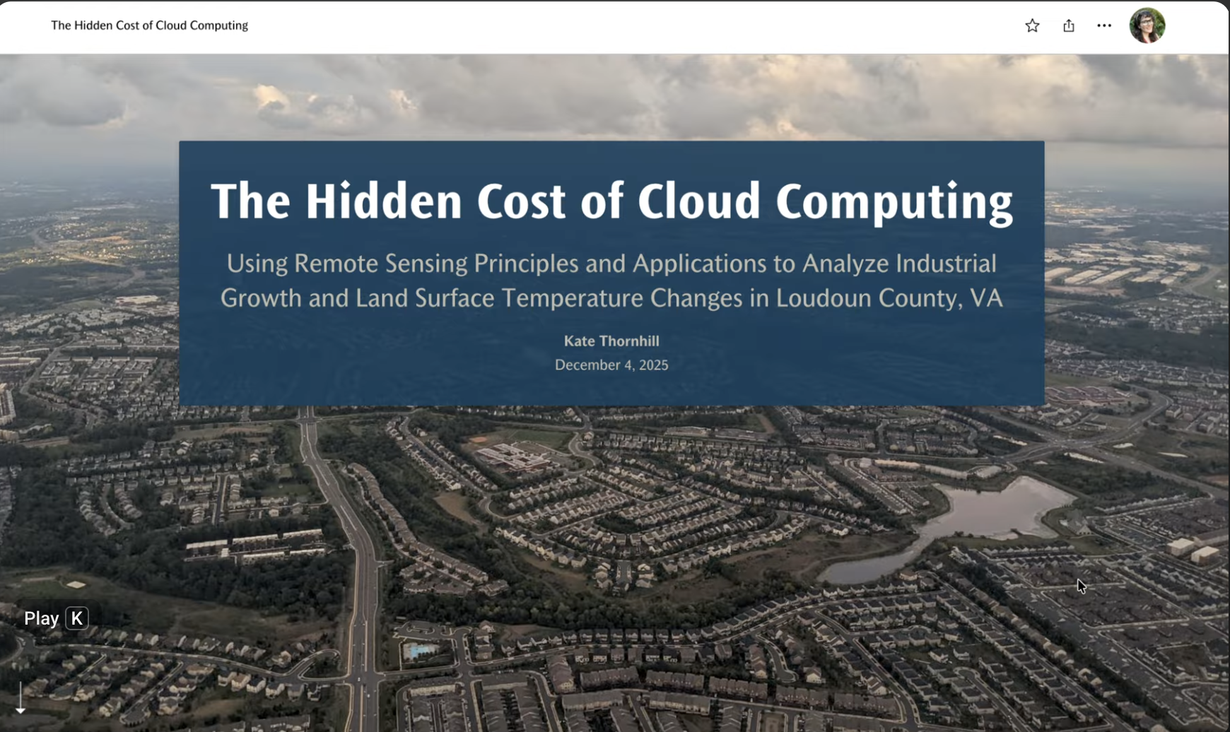
Interactive Storytelling with ESRI StoryMap
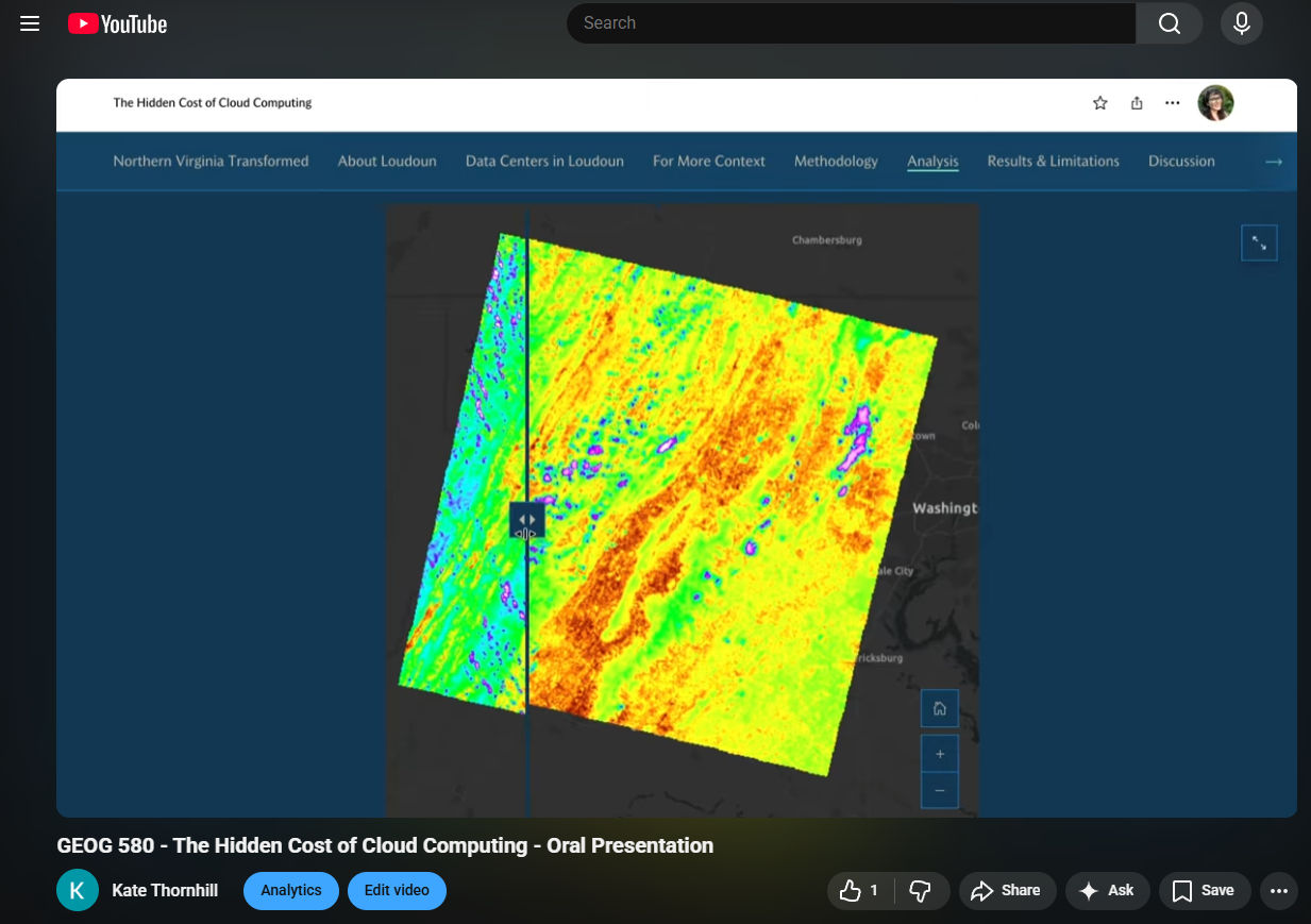
Watch the Oral Presentation on YouTube